On July 14th, I returned to Northwest Wisconsin to get three days of hiking completed. On Thursday, July 15th, I tackled the first of the three hikes, the 9.4 mile McKenzie Creek Segment.
On this day I was a little late meeting Caroline, today’s trail angel, due to bad electronics. When I arrived in the area the day before, I found the meeting point at the trail’s end and marked it in my navigation app, Waze. When I used it the morning of the hike, it led me to a spot west of where I wanted to be(I admit it; it was probably user error.). Fortunately, the cell phone coverage was good, and I reached Caroline to let her know why I was late. I reached the correct meeting place 15 minutes later. We had a pleasant chat while we drove to the trail head. After saying goodbye, I donned my pack and set off shortly after 9:00. The weather was clear and in the low 70s.
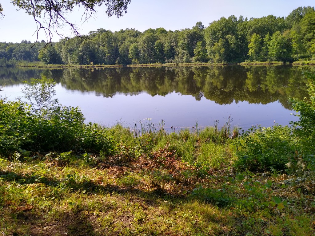
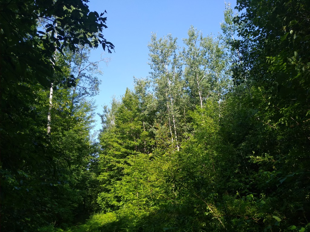
The Guide’s thumbnail description of the segment stated, “This wild and scenic segment highlights the McKenzie Creek tunnel channel.” Tunnel channel – a new term. A tunnel channel is, “Created by a fast moving river under a glacier that carves a valley. After the glacier has melted, the valley contains a series of lakes.” This explains the overall hilliness and the streams and kettle lakes in the area. Hiking this segment was a little like riding a roller coaster. I would climb straight up steep hills without the benefit of any switchbacks. Usually the ridges at the top overlooked trout streams like the Clam River or McKenzie Creek itself. For a while I would remain on the tops of such ridges, with the trail gently undulating up and down, until the trail would plunge down to the level of the stream or lake, like Dinger Lake in the picture above. Then the process would repeat.
While the trail vacillated in width from a footpath to a logging road, my guess is that I was on footpaths the bulk of the time. No matter the width of the trail, I was impressed by both the trail conditions and the signage. There had been heavy rains the day before, but the trail was in great shape. Several bridges erected by IAT volunteers steered me clear of potentially soft or soupy areas. I took a wrong turn near the end of my hike, but I quickly realized my error and recovered.
The day grew hot and sticky, so I made it a priority to drink water every 15 minutes. Also, I concentrated on proper form, especially in the latter portion of the hike. The last thing I wanted to was to roll an ankle at this stage of the game.
What a great hike! I’d love to return to this segment.