
Get it done and get in the cool was the theme of today’s hike. With high temps forecast in the mid 90s, I wanted nothing more than to knock off this seven mile hike on the morning of July 23, 2021 as quickly as possible.
A good night’s sleep might have really helped, but it was not to be. Storm sirens went off in the middle of the night. We could hear rumbling in the distance, and I made a quick trip to the desk to ask if the siren was a tornado warning. It was not. Single tone sirens like this are a warning for severe thunderstorms. An undulating siren sound is a tornado warning. No matter – both Jane and I were pretty bleary-eyed when our alarm went off at 5:00.
But the show must go on, and we made our way to start the day’s hike just north pf the village of Centuria. First on the to-do list was knocking off the last of the Gandy Dancer segment, a 2.5 mile walk. Like the the previous day’s hike, this was flat country with a forest canopy of shade for which I was very grateful. Along the way, I passed a nicely manicured ballpark that appeared to be sponsored by a local American Legion post. One thing I have noticed on my hikes through Wisconsin’s small towns and villages was the omnipresence of veteran’s posts – American Legion, VFW and AmVets. I’ve also seen enough baseball diamonds in these towns to be aware that Legion Baseball is a big deal in this state.
It took me about an hour to wrap up Gandy Dancer. A 4.5 mile connecting route to the St. Croix Falls’ northern trail head awaited. Now I was out in the open, and the morning sun was beating down on me directly, in addition to radiating off the asphalt road. I was already quite hot. 160th Avenue, where I was walking, featured much more rolling country than the Gandy Dancer segment. For me, the hike had two highlights. One was the windmill pictured at the top of this journal entry. Whether it is a working windmill or just decorative I cannot say, but it certainly is distinctive.
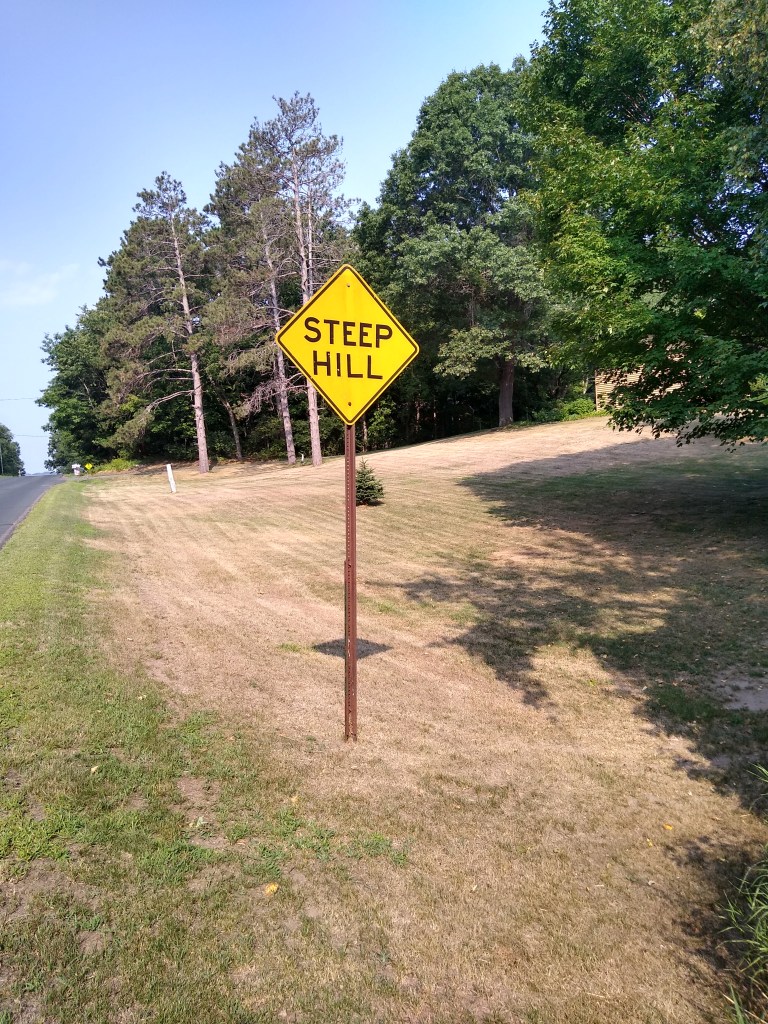
The other highlight is what I call The Big Hill. In choosing to hike this connecting route from east to west, I thought it would be easier to travel down the valley to the St. Croix River’s level instead of climbing the valley going away from the river. Once I saw the hill in person, my choice was validated. This very steep hill had to be a half mile long from its crest to where it reached its base at its intersection with Wisconsin 87. It was so long that it took multiple camera shots to photograph it in its entirety.
While making my descent, I wondered how the local school district handles pick up and drop off of students who live on either side of this road. It wouldn’t take much precipitation to make this a treacherous roadway. Easily, this stretch of road was the longest hill I encountered on the Ice Age Trail. I’m glad that gravity was on my side.
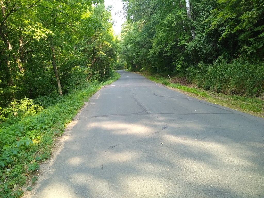
Once at the bottom of the hill, I turned right and walked 0.3 mile north on Wisconsin 87 to its intersection with River Road. A quick left turn onto River Road and a half mile walk on this beautifully shady lane brought me to the northern trail head of the St. Croix Falls segment, the end of today’s hike.
One more segment left – 9 miles. It was hard to wrap my head around the realization that I was very nearly done with my journey.
